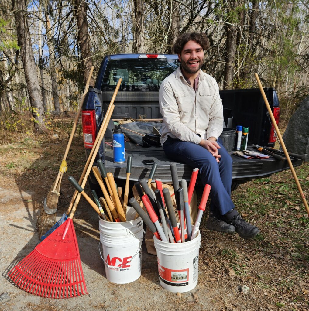
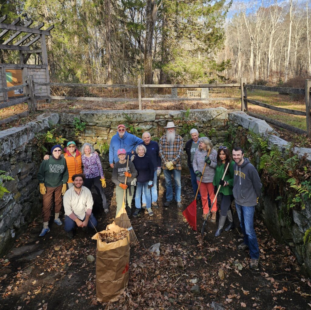
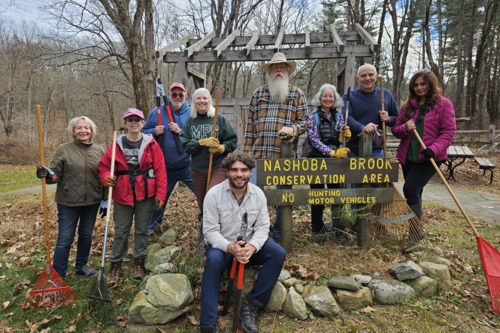
More than a dozen members of The Friends of Pine Hawk and the Acton Democratic Town Committee collaborated again on their annual fall community service day, continuing a tradition that began in 2017. This year’s event was held on Sunday afternoon, Nov. 10, 2024, and focused on raking leaves and removing fallen trees and brush around the foundation of the historic Wheeler Mill and the nearby Trail Through Time on the Nashoba Brook Conservation Land in North Acton.

The volunteers included: Bettina Abe, Karen Ahearn, Bob Ferrara, Deena Ferrara, Barb Fuller, Adrian Hancock, Jody Harris, Greg Jarboe, Greg Paris, Coleen Phillimore, Sahana Purohit, Ava Sarafan, and Eric Schlesinger.
Wheeler Mill Complex
Thomas Wheeler, Jr.’s 1732 mill complex featured a gristmill and sawmill, built to harness water power for milling. While portions of the original masonry have fallen or been repurposed, enough remains to understand the water delivery system’s design, influenced by similar hydraulic engineering techniques from New England’s 18th- and 19th-century water-driven mills.

The mill site, chosen by Native Americans for a fish weir, provided essential resources. Stones and boulders from the stream bed were used for construction, while timber from nearby forests supplied material for structural components. Oxen from Wheeler’s farm assisted in moving heavy materials, and Native American labor was also involved. The topography of the stream bed and floodplain created an ideal microenvironment for a water-driven mill, which required a minimum 10-foot drop to power machinery via a water wheel. Energy from the wheel was transferred to the milling equipment through an attached axle, with wheels commonly designed as overshot, undershot, or tub wheels.
To generate the required 10-foot drop, a canal was constructed along the northern floodplain using trench and berm construction, with walls reinforced by stone to prevent damage during high water stages. The canal’s gradient was intentionally made gentler than the natural stream bed, allowing water to flow further downstream and create the necessary height. At this downstream point, a stone barrier with a gate regulated the water’s flow into millraces. Just below the gate, a triangular boulder divided the water into two streams, each channeling water to one of the mill’s two water wheels, ensuring efficient power distribution for both milling operations.
Trail Through Time

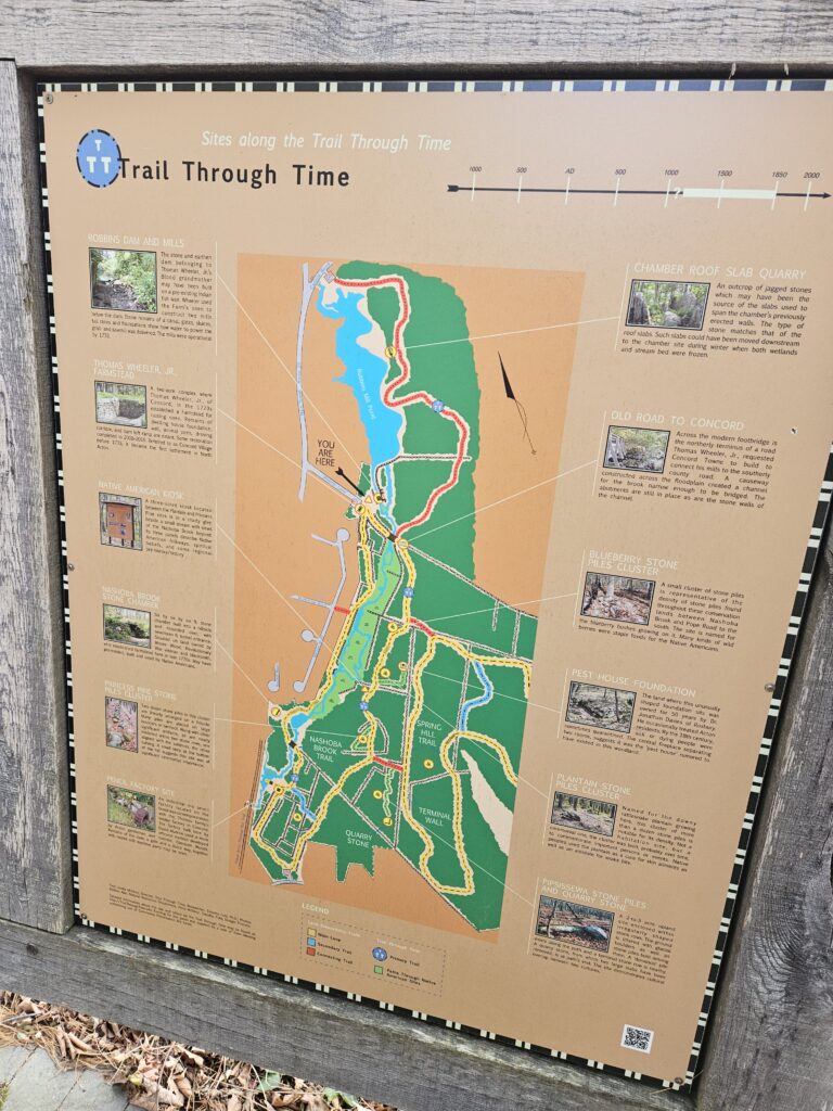
The Trail Through Time (TTT) in North Acton, Massachusetts, is a two-mile heritage trail that offers visitors a unique exploration of both natural beauty and rich historical layers. The trail winds through hardwood forests and wetlands, where visitors can spot summer wildlife such as birds and frogs, and cross two footbridges that provide picturesque views of Nashoba Brook. Twelve archaeological sites along the loop highlight remnants from Native American and colonial settlements, including stone structures that intrigue archaeologists and history enthusiasts alike.
Native Americans inhabited this area for over seven thousand years, using the land for ceremonial practices. Their stone structures, scattered throughout the forest, are thought to be remnants of these traditions and link the area to a broader sacred landscape stretching across nearby towns. European settlers arrived in the late 1600s, transforming the landscape into farms. By the 1700s, they raised cattle, crops, and apples, replacing the Native American hunting and fishing grounds. In the 1800s, two mills along Nashoba Brook processed local grain, logs, and even produced pencils.
Visitors can observe relics of this era, such as quarries, stone walls, sluiceways, and mysterious rock piles. Key sites include a hillside dry-stone chamber, and a two-room foundation believed to have served as a “pest house.” Short side paths also lead to sacred Native American sites, hidden for centuries by the forest.
The Ttrail’s educational panels and kiosks enrich the journey, providing context for each site. Sturdy bridges, boardwalks, and clearly marked paths guide visitors through this historical landscape. With parking accessible at Wheeler Lane and Davis Road, the TTT invites people of all ages to explore a once-thriving community’s remains in a peaceful, natural setting.

(Disclosure from Greg Jarboe: My wife is a descendant of the Wheelers and signed me up to participate.)
Greg Jarboe writes on many topics for the Acton Exchange. He is the senior center beat reporter.
